Distance
3.3km
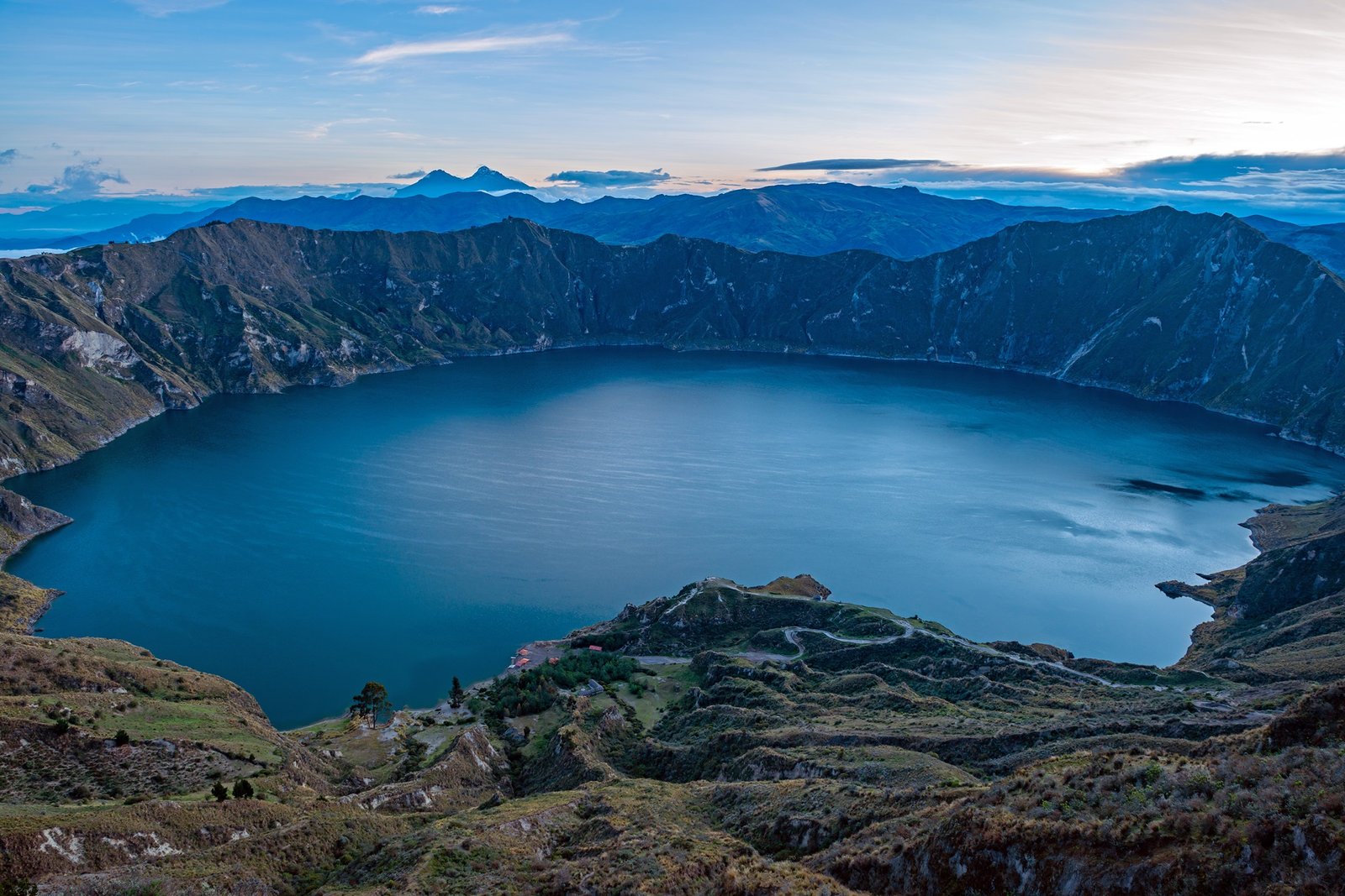
Quilotoa Beach's (in spanish "La Playita Quilotoa") trail is the hiking route that begins at the entrance of the Quilotoa Lagoon and follows a path down to the shore of the lagoon (to the Playita Quilotoa area).
Quilotoa Beach's
3.3km
Moderate
3.870 m.s.n.m
3.506 m.s.n.m
8 °C ~ 21 °C
(#001)
The Quilotoa - Shalala trail is a route that begins at the entrance to Quilotoa and continues along the edge of the crater to the Shalalá Viewpoint.
Along this same road, near the Shalalá viewpoint, you will find the Shalalá Community Tourism Center.
Shalalá
2.5km
Baja
3.870 m.s.n.m
3.750 m.s.n.m
8 °C ~ 21 °C
(#001)
The Quilotoa Loop is a multi-day trekking route along the andes mountainous path that begins in the town of Sigchos, passes through Insivilin and Chugchilan, and reaches the Quilotoa volcano-lagoon.
Quilotoa Loop
40km
Strenuous
3.880 m.s.n.m
2.530 m.s.n.m
5 °C ~ 25 °C
(#001)