Distance
11km
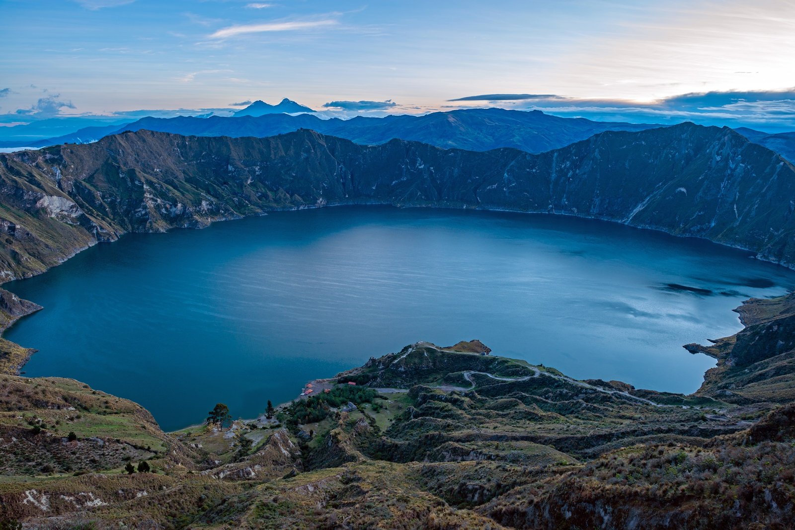

The summit of Quilotoa resembles a huge volcanic caldera, with a wide diameter and moderately high peaks. Its accessible range of altitudes has contributed to its great popularity, facilitating access and exploration of its unique summit.
The complete lap to the entire Quilotoa Crater is the symbol of conquering its summit, an 11km (6.8miles) trail that begins at the main viewpoint of Quilotoa and then crosses Shalalá, Juyende Peak, Macacunga lookout and other peaks and natural viewpoints.

A local guide is not required to complete the lap to the summit. It is recommended to bring a GPS, Map App or a local guide if you don't have experience in mountainous terrain. Signage is partial.
11km
3-4 Hours
Moderate
3.930 m.s.n.m
3.758 m.s.n.m
(#001)